
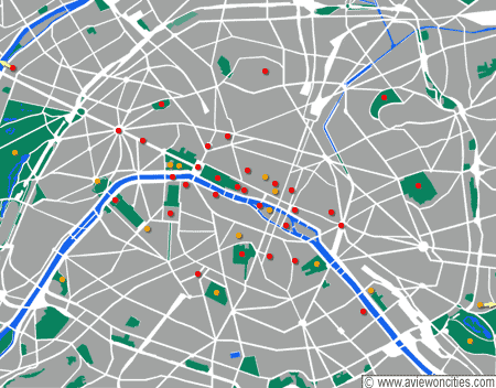
 Map of Paris
 Map of Île de la Cité
As you can see in the map of Paris, top, there are two islands in the Seine. The larger of the two, the one on the left, is the Île de la Cité. The smaller one, to the east of it, is the Île Saint-Louis. On maps, they resemble ships in the water.
There is so much to be found on the Île de la Cité alone, it's too much for one post. So this time I'm just going to hit on some views of the southern side of the island, mainly of the bridges connecting the Left Bank with the island.
This view is looking east, toward the tip of the island, and at the Pont Neuf. Keep in mind that pont means "bridge," which you probably would figure out after a while. As you can see, Pont Neuf spans the Seine all the way across the tip of the island.
 Pont Neuf across the tip of Île de la Cité
The next bridge walking east and on the south side of the island is Pont St-Michel. This view is looking west and shows the Palace of Justice, within the walls of which is housed the Ste-Chapelle chapel, one of the must-sees with its 800-year old stained glass windows. An intimate concert there with a chamber orchestra at night is pure heaven.
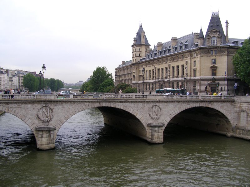 Pont St-Michel
Walking east you'll come to the Petit Pont, or "little bridge." In this view, again looking west, you are looking at the Prefecture of Police, where famously the French Resistance held out against the German Nazis in August 1944, the beginning of the Liberation of Paris.
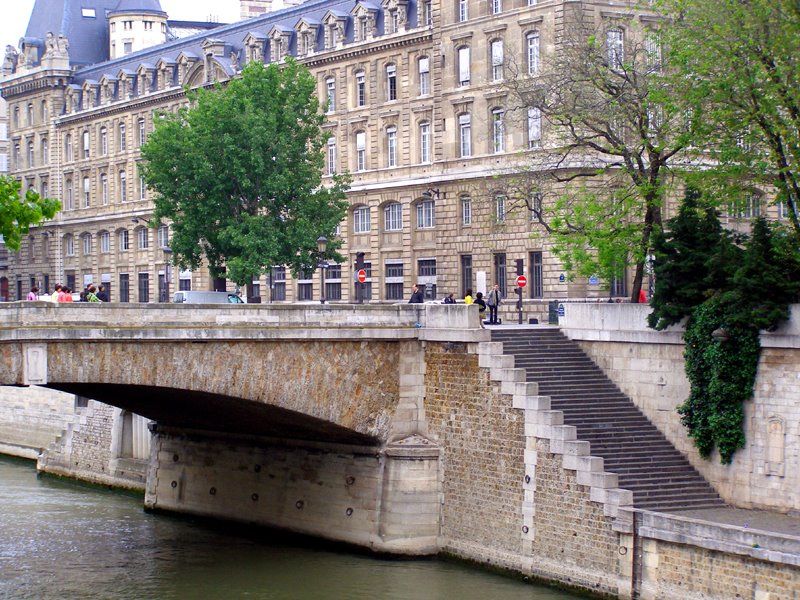 Petit Pont
Then comes Pont au-Double. "The first bridge at this location was built as a two-story building, an annex to the Hötel Dieu ( a hospital). First requested in 1515, it was finally constructed in 1634. The floor that served as a passageway for the hospital staff was envied by pedestrians annoyed by the congestion at the Petit Pont. So the passage-way was opened to the public in exchange for the payment of a 'double-denier' from which the current name was derived.Payment for passage continued until the Revolution. The bridge collapsed in 1709, was reconstructed in its original form, then in 1803, when the smaller branch of the Seine was opened to navigation, was replaced by the existing structure, with a single arch." (from http://www.pariswater.com/ponts/)
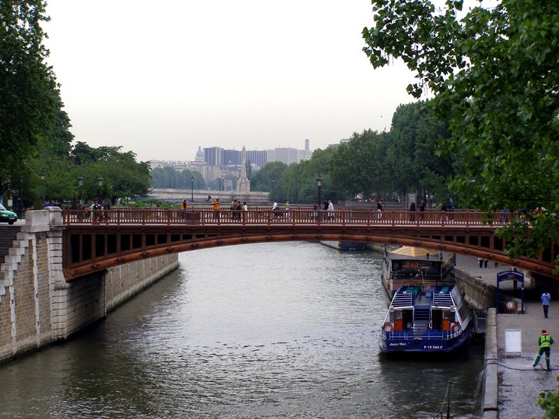 Pont au Double, looking east
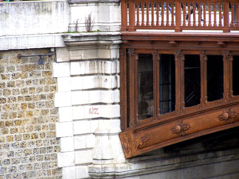 Pont au Double closeup
When you get to the Petit Pont, the bridge before last, you see this view of the Notre Dame cathedral looking east. The Notre Dame is at the stern of the "ship" of the Île de la Cité.
 Notre Dame cathedral with Petit Pont in foreground, looking east
There, you've walked the whole southern (larboard) side of the Île de la Cité!
The Notre Dame looking west:


 Paris Time

